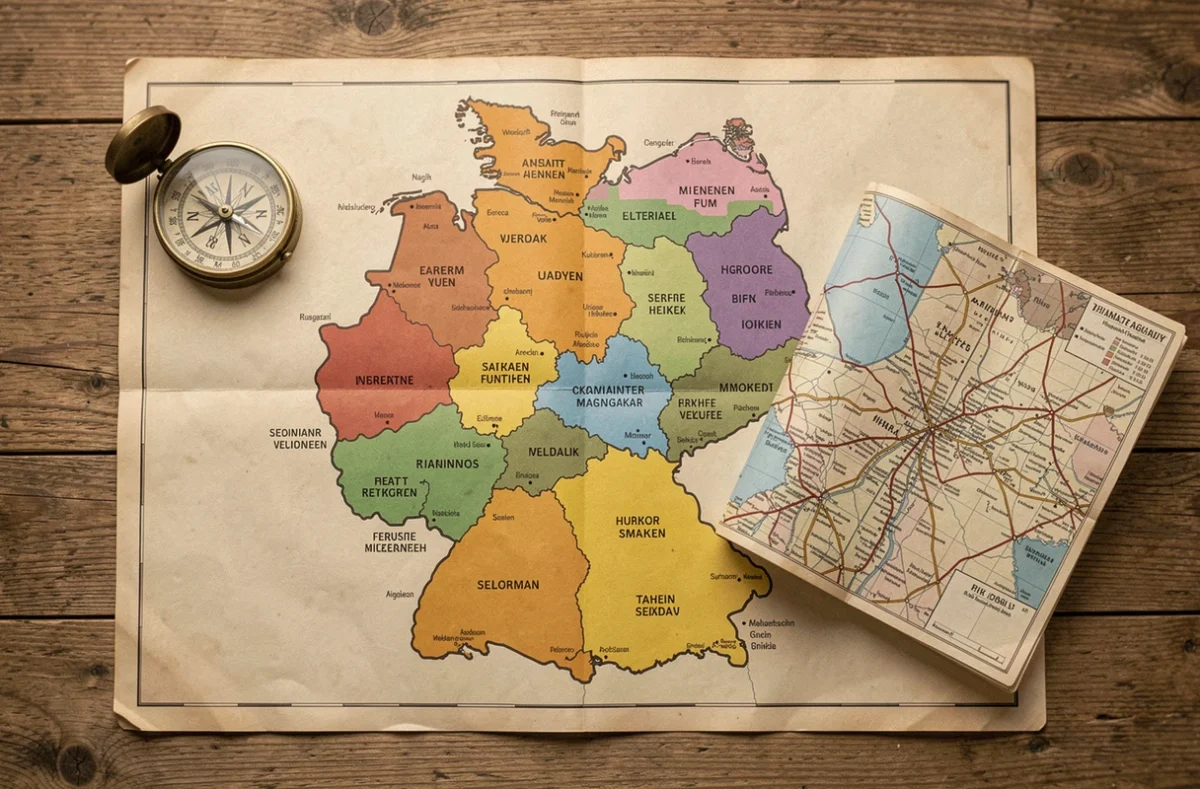
Germany’s sixteen federal states have remained unchanged since reunification in 1990, and nothing in the federal legislative calendar points to territorial reorganization in 2026. What is changing, however, is the way we interpret this map. The states’ administrative boundaries remain stable, but they obscure functional realities—employment areas, transport networks and cross-border cooperation—that most school and tourist maps overlook.
Administrative boundaries and functional regions: what the map of Germany’s states doesn’t show
An administrative map of Germany’s states divides the country into sixteen units, each with its own constitution, parliament and areas of responsibility, including education, policing and culture. This view is institutionally accurate, but it presents a static picture of the country’s geography.
Take North Rhine-Westphalia. The state encompasses Europe’s largest urban concentration, the Ruhr, as well as rural areas such as the Sauerland and the Eifel. On a conventional map, the entire state is shown in the same color. Employment areas, however, don’t follow these boundaries: Aachen is connected to Maastricht (the Netherlands) and Liège (Belgium) through the Meuse-Rhine Euregio, a cross-border cooperation body that has been active for decades.

The same applies in the east. Brandenburg surrounds Berlin, but the boundary between the state and the city-state does not reflect the daily flow of commuters. The Berlin-Brandenburg metropolitan region is jointly managed for regional planning, showing that administrative boundaries are already being bypassed in practice.
Consulting an up-to-date map of Germany’s states makes it easy to locate the sixteen states and their capitals, but it’s worth remembering that the country’s actual geography follows other patterns.
City-states and territorial states: Berlin, Hamburg and Bremen
Three states are city-states: Berlin, Hamburg and Bremen. This special status gives them the powers of both a municipality and a state. In practice, this means that a single government oversees education policy, policing and urban planning, with no intermediate level of government.
Bremen is the most unusual case among the three city-states.
- Berlin, a city-state surrounded by Brandenburg, works in tandem with the latter on transport and housing planning.
- Hamburg, the country’s second-largest city by population, manages its port and S-Bahn network independently, but shares regional transport lines with Schleswig-Holstein and Lower Saxony.
- Bremen is the subject of recurring debate over a possible merger with Lower Saxony, but no concrete proposal has come to fruition.
Federal structure: state powers and the role of the Bundesrat
Each state has its own constitution and parliament (Landtag). The states’ exclusive areas of responsibility include education, culture and policing. Other areas, such as labor law and environmental protection, fall under concurrent legislation: the federal government legislates, while the states implement the laws and can adapt certain provisions.
The Bundesrat, the chamber representing the states at the federal level, turns this institutional influence into political leverage. The number of votes each state has varies according to its population, preventing any one state from dominating but making it harder to secure the majorities required for laws that need the chamber’s approval.
We can see that this structure has a direct impact on mapping: school curricula differ from one state to another, which explains why educational maps in Germany are not uniform across the country.
Transport and cross-border cooperation: a different way to read the map
Verkehrsverbünde (transport associations) clearly illustrate the gap between administrative maps and the lived reality of a region. The VBB (Verkehrsverbund Berlin-Brandenburg) provides a unified fare system across Berlin and Brandenburg. Hamburg’s HVV extends into Lower Saxony and Schleswig-Holstein. The VRR, in the Ruhr, provides a unified fare system across much of North Rhine-Westphalia.
These fare zones map out a geography of everyday mobility that a map of Germany’s states cannot capture. For travelers and logistics professionals, the relevant map is not one showing the sixteen states, but one showing integrated transport networks.
Along Germany’s external borders, cross-border cooperation creates further overlaps. These bodies don’t appear on any standard school map.
- The Meuse-Rhine Euregio connects Aachen (North Rhine-Westphalia) with Liège and Maastricht.
- The Greater Region SaarLorLux brings together Saarland, Lorraine, Luxembourg, Wallonia and Rhineland-Palatinate.
Reading a map of Germany’s states in 2026 therefore means overlaying these functional networks on the official boundaries. The administrative framework remains the legal foundation, but it is not enough to understand how Germany works day to day. The sixteen states are a starting point, not a destination.